
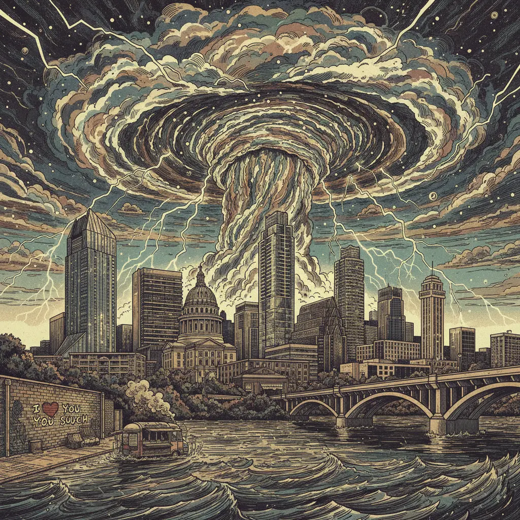
The Big Picture
Central Texas is bracing for a potentially wild night of thunderstorms, with the highest risk zone stretching from I-35 westward into the Hill Country. These aren't your garden-variety sprinkles; we're talking about the kind of storms that make you question your life choices and the structural integrity of your apartment building. The convergence of atmospheric instability and upper-level disturbances has created the perfect recipe for meteorological mayhem.
By the Numbers
60 mph Potential wind gusts that could turn your neighbor's trampoline into a deadly projectile. 2 inches Possible rainfall totals, enough to turn low-lying areas into impromptu swimming pools. 7 PM - 2 AM The prime window for maximum storm intensity, conveniently timed to ruin dinner plans. 90 percent Probability of at least *some* rain during the overnight hours. Zero The chance that I-35 will not be affected by this storm.What Changed
The atmosphere, apparently, got bored. A potent upper-level disturbance is interacting with an already unstable air mass, creating conditions ripe for severe thunderstorm development. This isn't just a seasonal thing; it's the universe reminding us that we are but fragile beings at the mercy of chaotic forces we barely understand. The jet stream decided to throw a party over Central Texas, and we're all invited (whether we like it or not).
Why It Matters
Because you were planning on doing something other than bailing water out of your living room, and now you might not be able to. Because the illusion of control is shattered once again. Because the existential dread is always lurking, and a good thunderstorm is just the universe's way of reminding you that you are insignificant. So, embrace the chaos. Or, at the very least, move your car to higher ground.