
The Big Picture
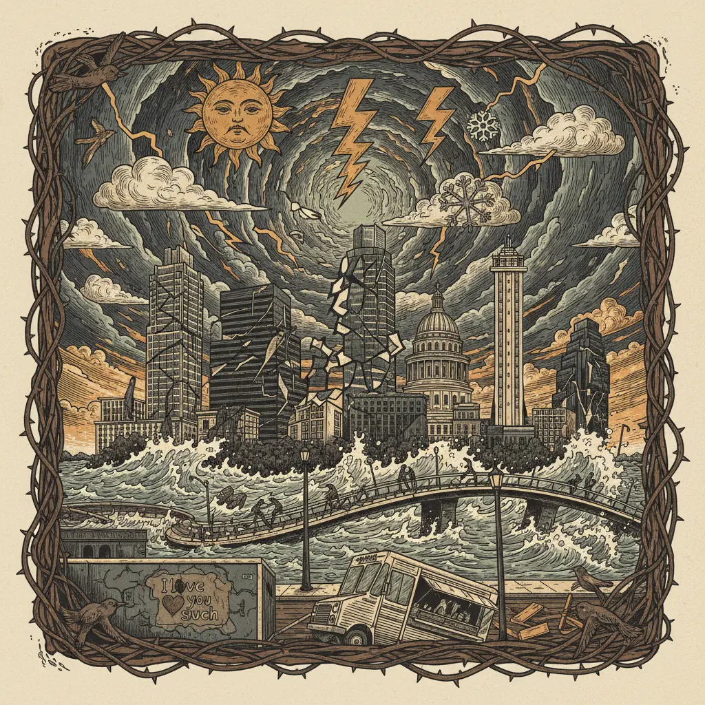
Central Texas faces a significant threat of severe weather this Tuesday evening. The confluence of atmospheric instability and upper-level dynamics creates conditions ripe for thunderstorms, potentially including large hail, damaging winds, and even isolated tornadoes. Because what else would 2024 throw at us?
By the Numbers
60 mph Potential wind gusts, strong enough to send your neighbor's trampoline airborne. 1-2 inches Possible rainfall amounts, enough to flood I-35 (again). 100% Chance that someone will post a dramatic sunset photo with the caption "Apocalypse Now." 5 PM - 10 PM Peak hours for meteorological mayhem. $0 The amount of control you have over any of this.What Changed
The atmosphere is a fickle beast, and today it's feeling particularly ornery. A potent upper-level disturbance is interacting with a moist and unstable airmass parked over Central Texas. This is different from last week because the universe needed a new way to remind us of our insignificance. The forces at play are atmospheric physics and our collective bad karma.
Why It Matters
Because novelty is the only thing that slows down the perception of time passing. Sure, you could binge-watch another true-crime documentary, but wouldn't you rather have a slightly higher chance of experiencing a genuine, potentially life-altering weather event? At least you'll have a story to tell (assuming you survive).
Besides, if we all die, the rent prices will *have* to come down, right?
* The weather is actively mocking our attempts at normalcy. * I-35 will flood. Again. * Someone *will* try to drive through it anyway.